Continental Curiosity
This term’s focus is on how our children use world maps to locate themselves globally.
Artic Analysists - Nursery
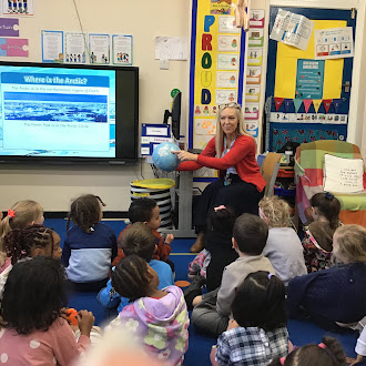
Apple Tree Nursery children have delved into their topic of the Arctic this term (a contrast to rainforests around the world). They started by learning where the Arctic is located on the world map and globe. As part of their investigating, the children read stories of Arctic animals, acted out our own stories narrating them, made puffy paint polar bears and painted a walrus. In doing this, important foundation work has been laid in preparing our younger children to use mapping skills.
The Four of the Isles - Year 2
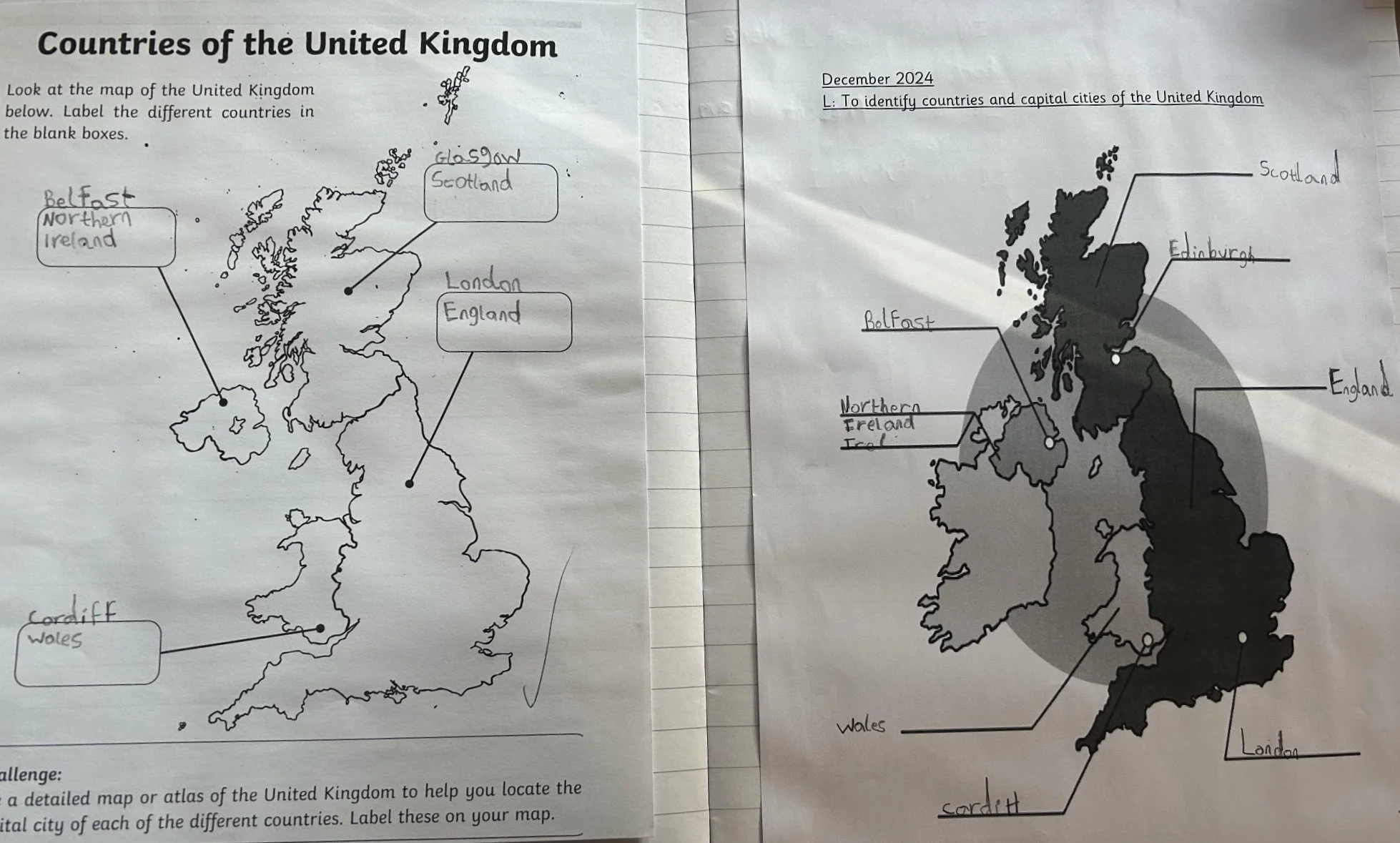
Year 2 learnt about UK on the world map then countries and capital cities; we used Google Earth to locate countries important to the children.
Continental Curiosity - Year 3
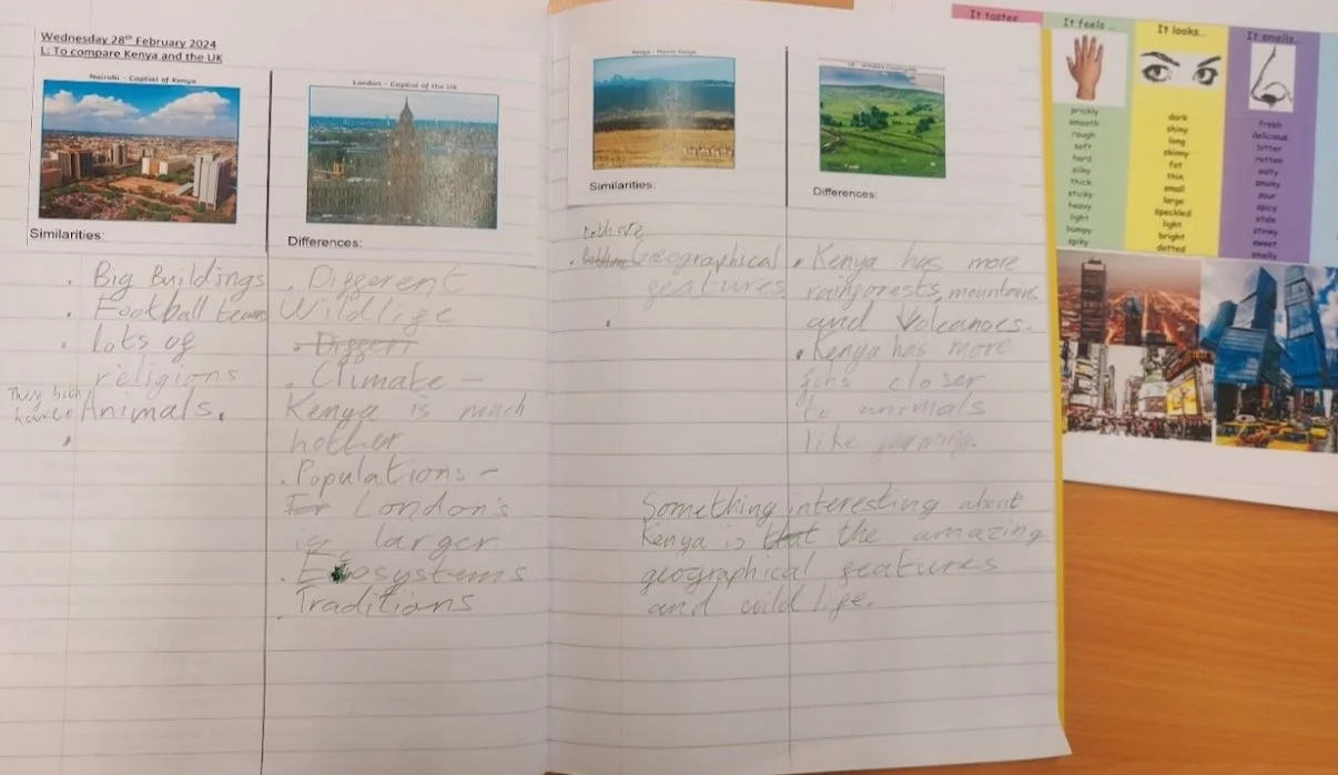
Our year 3 curriculum includes a lot of location knowledge about the continents of Europe and Africa. The children enjoy using their detective skills when reading an atlas in order to identify countries and capital cities. We hope to follow this up with a greater sense of what it might be like to live in a particular country or city, as well as what physical features it possesses.
The Allies VS Axis - Year 6
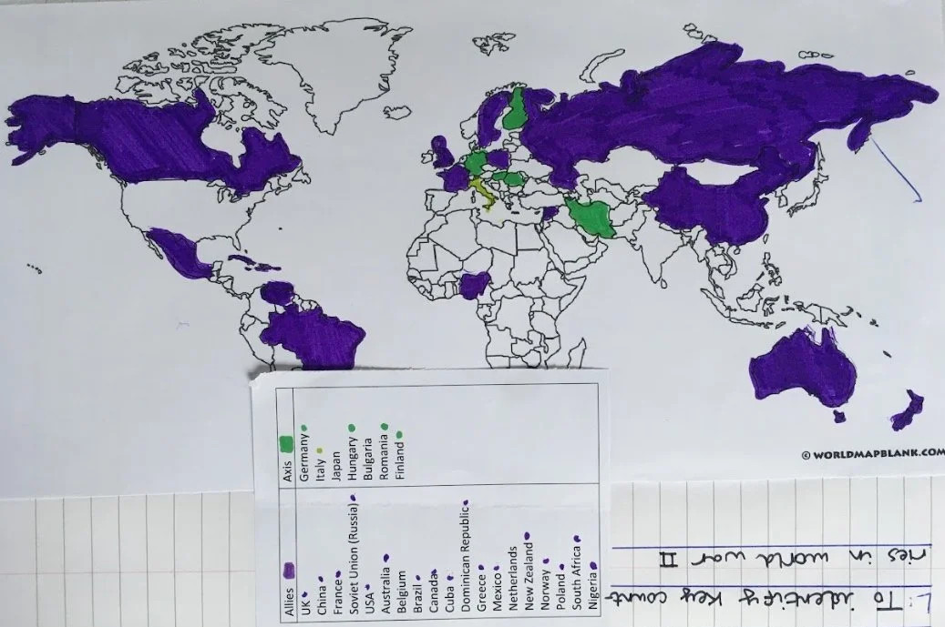
As part of their learning about The Second World War, Year 6 spent some time locating the participants in the European conflict. The children used their atlas skills plus their history learning to produce a colour-coded map showing the Axis and Allies powers. This activity led to an interesting discussion in 6S about how countries’ borders have changed over time, and the possible reasons for this.
